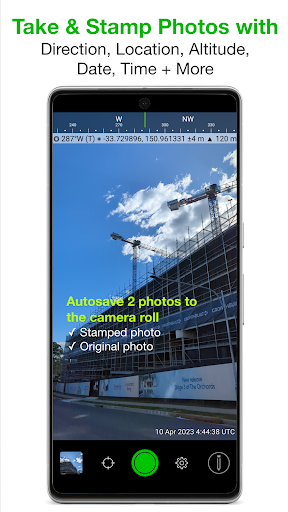
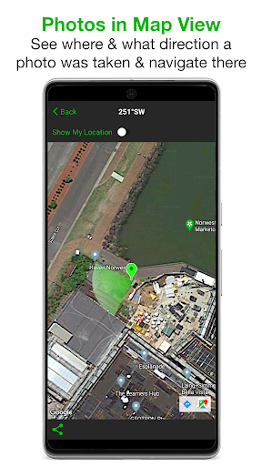

Been using Solocator – GPS Field Camera for a couple months now. It’s basically an app that lets you take photos and stamp them with all sorts of location data – GPS coordinates, altitude, compass direction, tilt angles, and more. Pretty solid app if you’re into that kind of thing.
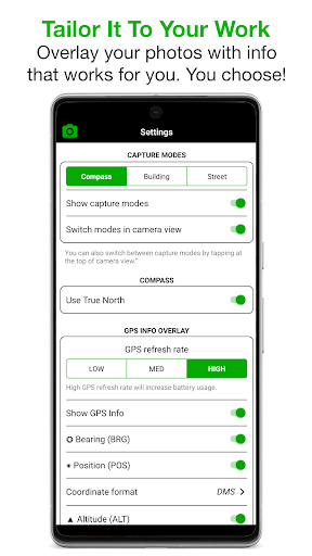
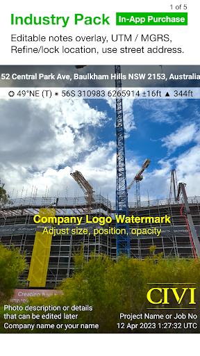
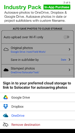
Here’s what you do: You just open the app, take a photo, and it overlays all the metadata you need. There’s also an option to add field notes like project name and photo descriptions, which is pretty cool. And you can customize what info gets shown on the photos – took me a while to figure that out but it’s useful.
Look, if you’re into geotagging and photo documentation for work or hobbies, you’ll probably like this. It’s not perfect – the free version has ads that can get annoying – but overall it does the job. Worth checking out.