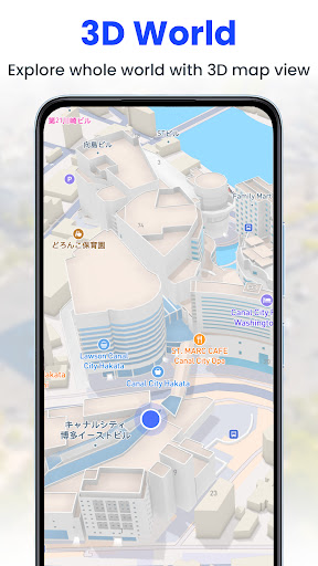

Been using GPS Satellite Live Earth Map for a couple months now. It’s basically an app that lets you explore the world in 3D using satellite imagery. Pretty solid if you’re into maps and navigation.
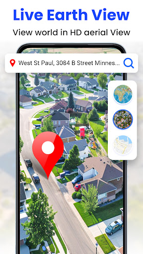
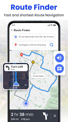
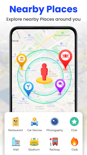
Here’s what you can do – you can browse high-resolution satellite views of the whole planet, zoom in on landmarks and cities, and even get turn-by-turn navigation with GPS directions. There’s also a neat feature where you can see live traffic conditions. Took me a while to figure that one out but it’s actually super useful.
Look, if you’re into travel or just like checking out different places on a map, you’ll probably like this app. It’s not perfect – the ads can get a bit annoying if you don’t pay – but overall it does the job pretty well. Worth checking out if you need a good satellite map and navigation tool.