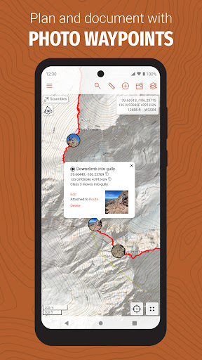

Been using CalTopo for a couple months now. It’s basically a super powerful mapping app for the outdoors. Pretty solid if you’re into hiking, camping, or other backcountry activities.
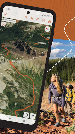
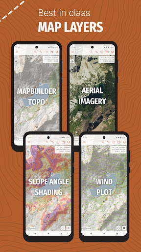
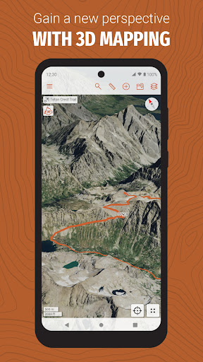
Here’s what you can do – you can plan out your routes, check terrain and elevation, see things like land management areas, fire activity, and more. And there’s also cloud sync, so you can plan your trips on the website and then have them instantly on your phone. And the offline maps are really handy when you’re out of cell range.
Look, if you’re an avid hiker or explorer, you’ll probably love this app. It’s not perfect – the learning curve can be a bit steep and the subscription is kinda pricey. But overall, it’s a super useful tool that makes trip planning and navigation a breeze.