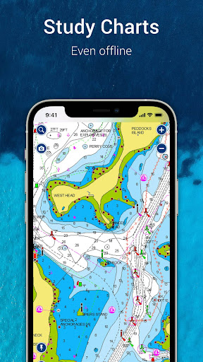

Been using Navionics® Boating for a couple months now. It’s basically an app that gives you detailed nautical charts you can use offline. Pretty solid if you’re into boating, fishing, or just exploring the water.
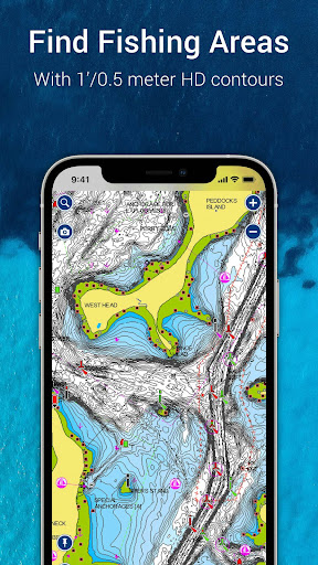
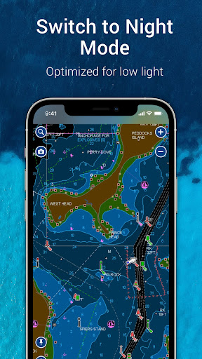
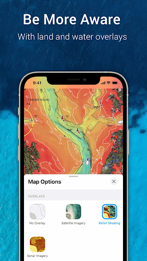
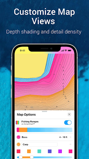
Here’s what you can do: you’ve got your standard nautical chart with depth info, navigation aids, and all that. There’s also these cool SonarChart HD bathymetry maps that show the seafloor in crazy detail. And you can overlay stuff like weather, tides, and other data. Pretty handy when you’re out on the water.
Look, if you spend a lot of time on boats, you’ll probably find this app really useful. It’s not perfect – the subscription model can be annoying – but overall it does the job well. Worth checking out if you need a solid nautical navigation app.