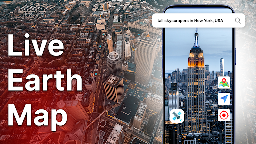
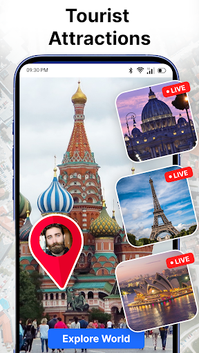

Been using Live Earth Map: Satellite View for a couple months now. It’s basically an app that lets you explore the entire globe using real-time satellite imagery. Pretty cool if you’re into geography and virtual travel.
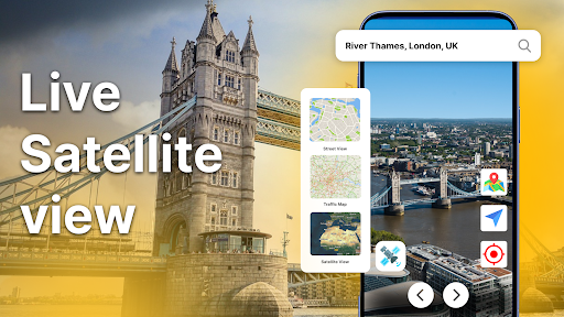
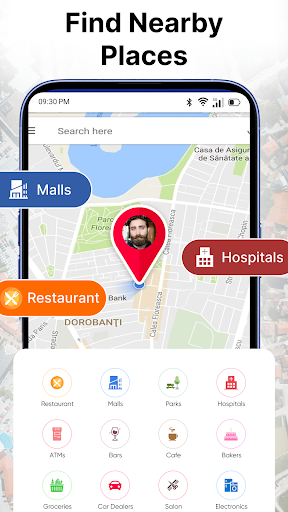
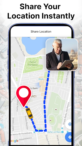
Here’s what you can do: you can zoom in and out of any region, get live weather updates, and even see traffic and street view cameras. There’s also a built-in GPS navigator which is handy. Took me a while to figure out all the features but it’s a pretty robust app overall.
Look, if you’re the kind of person who’s fascinated by maps and seeing the world from above, you’ll probably like this. It’s not perfect – the interface can be a bit clunky at times – but it does the job and is worth checking out.