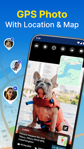
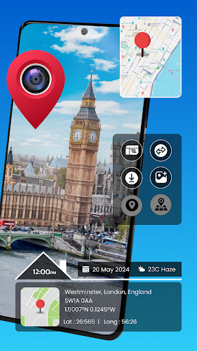

I’ve been using GPS Photo: With Location & Map for a couple months now. It’s basically a photo app that lets you capture images with detailed location data. Pretty solid if you’re into travel, hiking, or just want to remember exactly where you took certain pics.
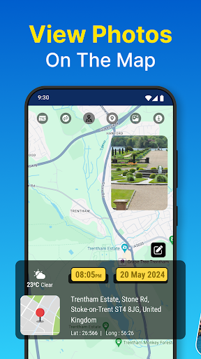
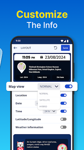
Here’s what you can do – there’s an advanced GPS camera mode that tags your photos with the exact coordinates and maps. You can also view your pics on a map and see the route you took. It’s got some other neat features too, like a time stamp and the ability to share your location with friends. Took me a while to figure out all the different settings but it’s pretty user-friendly overall.
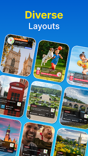
Look, if you love taking location-based photos, you’ll probably get a lot of use out of this app. It’s not perfect – the map view can be a little buggy sometimes – but it does the job of geotagging your images really well. Worth checking out if you want to up your travel photo game.