
I’ve been using GPS Satellite View: World Maps for a couple months now. It’s basically an app that lets you view detailed 3D maps of anywhere in the world. Pretty solid if you’re into travel and navigation.
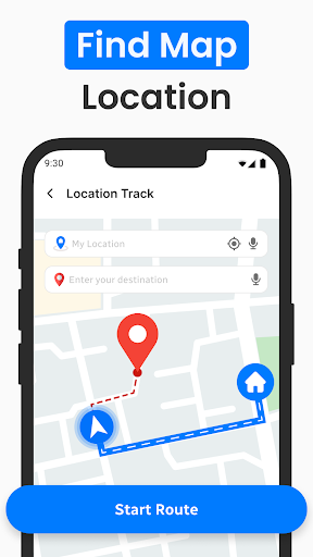
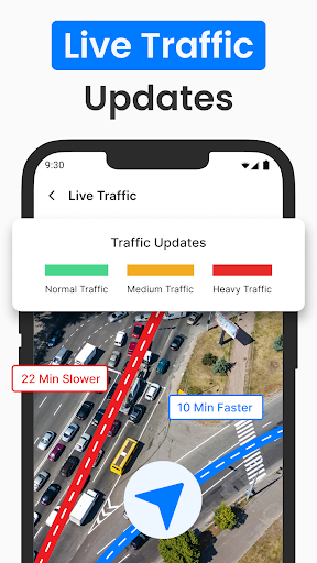
Here’s what you can do – you can explore the globe with high-res satellite imagery, plan routes using turn-by-turn GPS, and even check real-time traffic. There’s also a feature that lets you save your favorite places. Took me a while to figure that one out, but it’s super useful.
Look, if you’re the kind of person who’s always exploring new places, you’ll probably get a lot of use out of this app. It’s not perfect – the map data can be a bit outdated sometimes and the ads can get annoying. But overall, it does the job and is worth checking out.