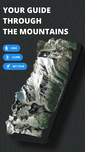
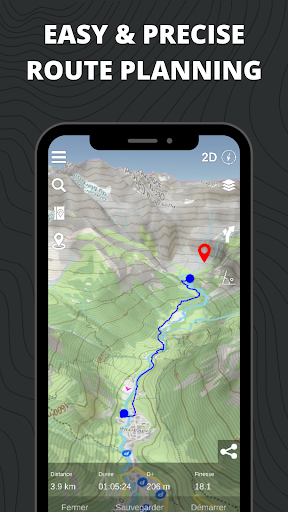

I’ve been using Relief Maps – 3D GPS for a couple months now. It’s basically a detailed 3D mapping app that works great for hiking, skiing, and all kinds of outdoor adventures. Pretty solid if you’re into that kind of thing.
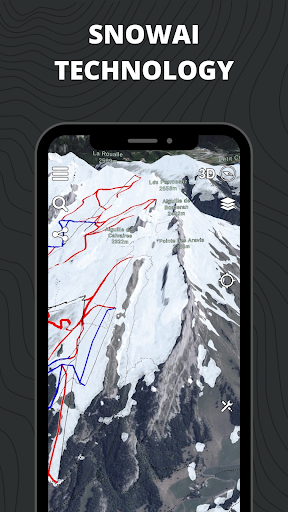
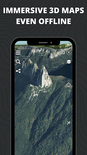
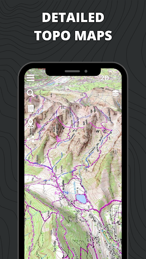
Here’s what you can do – there’s a huge library of USGS maps you can download for offline use, so you don’t need internet to navigate. You can also plot your own routes and trails, which is super handy. And the 3D view is really cool, makes it easy to visualize the terrain.
Look, if you spend a lot of time outdoors, you’ll probably get a lot of use out of this app. It’s not perfect – the UI can be a bit clunky at times – but overall it does the job. Worth checking out if you need a reliable offline GPS for your adventures.