
Been using Satellite View – Maps – Radar for a couple months now. It’s basically an app that brings all your travel navigation and weather tools into one place. Pretty solid if you’re into planning trips or just exploring new places.
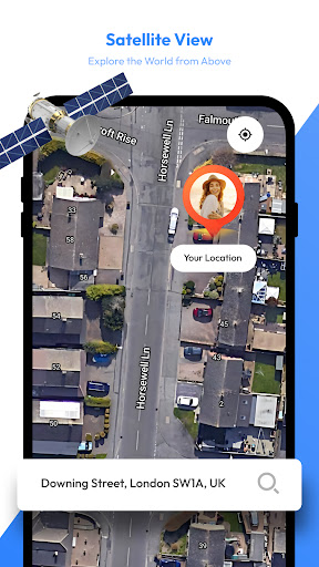
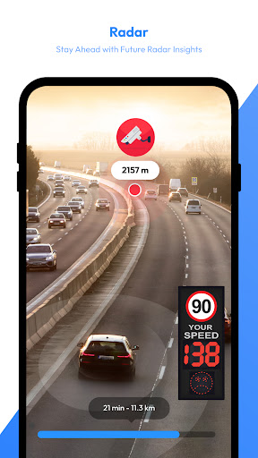
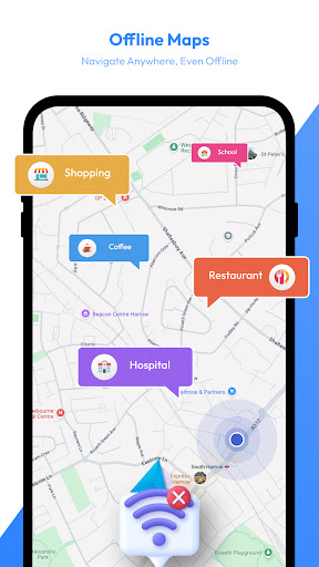
Here’s what you can do: There’s a satellite view mode that lets you check out the world from a bird’s-eye perspective. You can use it to find landmarks and get a feel for an area before you go. There’s also a weather radar that shows real-time precipitation and storms, so you can plan your trips around the weather. And you can download offline maps to use even when you don’t have internet.
Look, if you travel a lot or just like having all your mapping and weather info in one app, you’ll probably dig this. It’s not perfect – the offline maps can be a bit outdated sometimes – but overall it does the job pretty well. Worth checking out if you’re into that kind of thing.