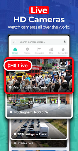


Been using Earth Camera: Satellite View for a couple months now. It’s basically an app that lets you explore the world through satellite imagery. Pretty solid if you’re into maps and geography.
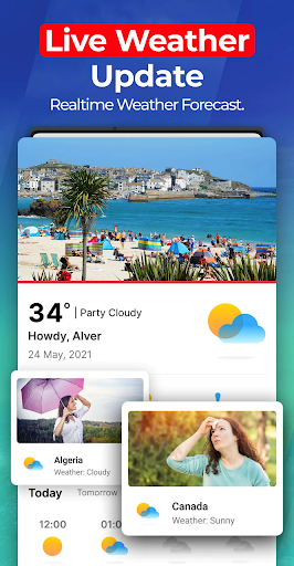
Here’s what you can do – you can search for any location on the globe and see a live satellite view. And there’s also weather info, so you can check the forecast before planning a trip. And the altitude feature is kinda cool, it tells you how high up you are. Took me a while to figure out all the different tools but they’re pretty useful once you get the hang of it.
Look, if you’re into travel or just like geeking out over maps, you’ll probably like this app. It’s not perfect – the ads can get annoying if you don’t pay – but overall it does the job. Worth checking out if you want a cool way to explore the world.